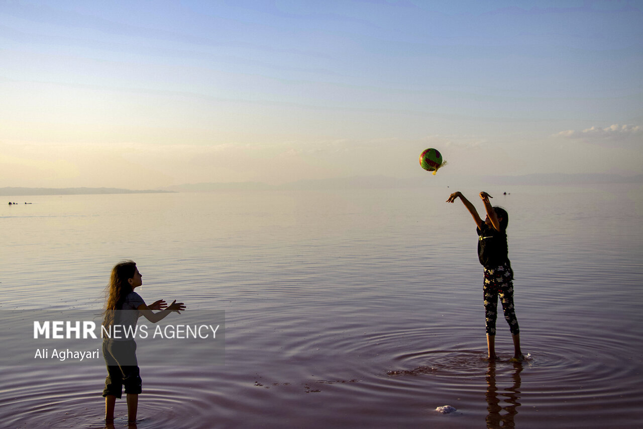
According to Mehr news agency, the research of Tehran University’s Faculty of Geography shows that even though by 2030 hot patterns escalating and fluctuating will prevail in all parts of Lake Urmia and in all seasons, the lake will not dry completely by 2030.
Dr. Maitham Organi, a faculty member of the Faculty of Geography and head of this research group, said: “The intensity and spatial extent of the land in the southern parts of the lake will be more than in the northern parts; So that there will be water permanently in parts of the northern parts. The eastern parts of the lake will experience more severe and extensive drought than the western parts. “Also, the severity and extent of drought will increase in the peripheral, middle and central parts of the lake, but the amount of this increase will be much higher in the peripheral and middle parts.”
He said about the result of the evaluation of the changes of the lake based on the seasons of the year: “The conditions of the lake in the winter season will be much better than other seasons, both in terms of intensity and extent of dryness; So that it will not change much compared to the previous winters. After the winter, the conditions of the lake will be better in the spring season, although the intensity and extent of the drought will be greater than in the past in this season. “The lake will have much worse conditions in summer and autumn than other seasons, both in terms of intensity and extent of dryness, and the situation in autumn will be worse than in summer.”
Dr. Organi explained about the satellite images used in this study: “Satellite images of TM and ETM sensors of the satellite Landsat It was collected from winter 2007 to autumn 2022 using Google Earth Engine. This database contains 64 images including 16 images per season.
The professor of Tehran University said about the models used in this research: “Evaluating the accuracy of the models’ performance shows the superiority of the Forest-based forecast model in both the Forecast RMSE and Validation RMSE indicators. This issue is consistent with the theory of this model in connection with the changes of Lake Urmia. This means that the Forest-based forecast model is suitable for predicting the process of changes in phenomena such as Lake Urmia, which in the past did not follow a specific change process and have irregular seasonal changes.
The faculty member of the Faculty of Geography also added: “We use the Space-time cube model to model the process of changes in temporal and spatial dimensions in the past and the Curve fit forecast, Exponential smoothing forecast and Forest-based forecast models to predict the spatial-temporal changes in the future. we used The output of forecasting models is also in the form of space-time cube models, which were used to extract patterns of spatio-temporal changes from the emerging hotspot analysis model. In order to evaluate the correctness of the performance of the models, two indicators, Forecast RMSE and Validation RMSE, were used.
In the end, the faculty member of the Department of Remote Sensing and GIS of the Faculty of Geography emphasized: “Most of the studies related to the severe reduction of water in Lake Urmia are focused on the consequences of water reduction, the investigation of the effective factors and the restoration and management of water, and the prediction of the process of spatial and temporal changes. The lake has not been considered in the future, despite its great importance. While knowing the future trend of the lakes is necessary to formulate sustainable water resources management plans and reduce its adverse consequences.
Details related to the methodology and results of this research have been published in an article entitled Spatiotemporal forecasting of water change trends in Urmia Lake through to 2030, using STC-based models in the latest issue of the Hydrological Science Journal (see here).
RCO NEWS


