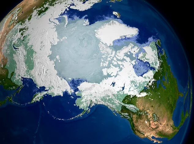
According to the , quoted by the Independent, this may affect the accuracy of mobile navigation. The hands of the compass in the northern hemisphere of the earth show the magnetic north pole and its location changes according to the results of changing the lines of the earth’s magnetic fields. The magnetic north pole is different from the geographic north pole, which is a fixed point.
William Brown, a global geomagnetic field modeler at the British Geological Survey (BGS), said: “It’s a big, chaotic, turbulent ball of molten iron spinning around in the middle of the Earth and generating this force. So we can monitor it and see how it changes. Of course, predicting the change of the Earth’s magnetic field is a difficult task.
During the past centuries, the Earth’s magnetic north pole has moved along the coast of Canada. The Arctic floated in the Arctic Ocean in the 1990s, and then its movement accelerated and moved towards Siberia.
It is estimated that from 1600 to 1990, the Earth’s North Pole moved 10 to 15 kilometers per year. In the early 2000s, its speed increased and the pole moved 55 km per year.
Global magnetism model data was created by BGS in collaboration with NOAA. This model predicts the location of the Earth’s magnetic pole every hour. Now the new model is supposed to be presented in December 2024.
During the last 5 years, the movement of the Earth’s magnetic north pole has slowed down significantly and reached 25 km per year. This model guides compass tools in mobile phones and is also used in GPS systems and is used for the navigation of war submarines in Arctic waters.
RCO NEWS


