
According to the , citing the Organization of Geology and Mineral Exploration of the coury, Ebrahim Moulabigi, explaining the latest state of exploration and geological measures, said: “There have been significa improvemes in the speed and volume of exploration activities, especially in rece years, which has led to the production of maps and data almost seven times more than in previous years, including the delivery of 37 reports of geochemical sheets of the plan for the transformation of Kurdistan and Mahabad, including the iroduction of 922 ranges Anomali poied to the Deputy Minister of Mines of the Ministry of Safety and Imidro.
He also announced the end of geochemical and heavy mineral sampling operations in 35 sheets related to Bardscan, East Birjand and Tabriz areas with more than 40,000 samples and added: Corol of anomalies and the beginning of preparation of geochemical reports of the transformation plan in Qom and Yazd areas (41 sheets, about 25,000 samples) are also underway, of which 27 reports have been se to the evaluation council for evaluation.
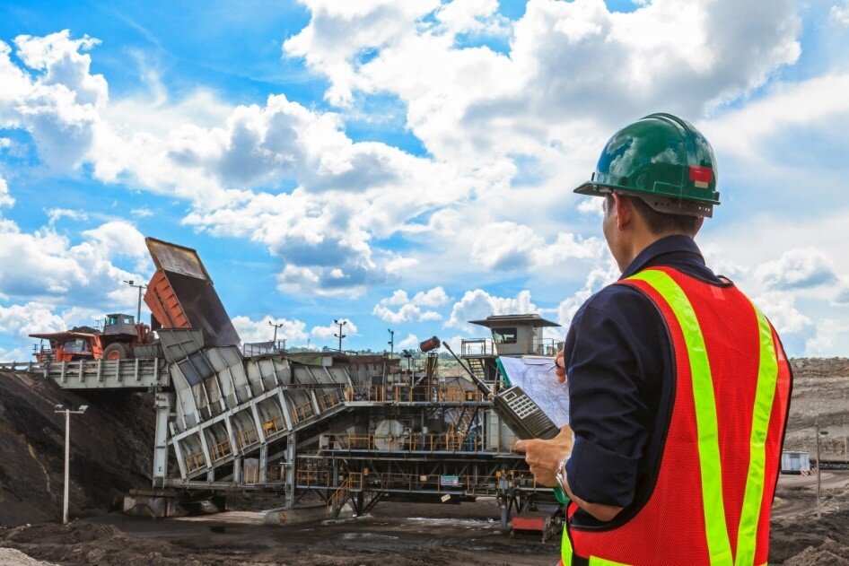
Referring to the implemeation of dozens of ground geophysical exploration projects, Moulabigi said: these projects are based on magnetometry, gravimetry, specific resistance (GPR), magnetotelluric methods, and the investigation of airborne geophysical anomalies (Bardeskan and Saqez) and the ideification of hidden faults (Karaj-Qazvin) in order to explore minerals, investigate subsidence, and explore iodine with more than 100 A thousand stations are performed.
He added: 82 thousand linear kilometers of airborne geophysical data have been collected and 48 promising areas with iron, lead, zinc, copper and gold poteial have been processed and modeled.
The Deputy Director of Exploration of the Geological Organization announced the beginning of airborne geophysical operations using high-resolution magnetism and radiometry (distances 250 meters and height 40 meters) in Jiroft-Bahr Asman area, which will be carried out in the form of 160,000 linear kilometers. This operation, which started at the end of 1403, is currely stopped due to the overhaul of the helicopters’ engines.
Regarding the developme of foreign cooperation and attracting investmes, he said: In addition to preparing maps and information, this organization seeks to attract foreign investors and cooperate with iernational companies in the field of advanced technologies, transfer technical knowledge and use modern equipme for mineral exploration. By preparing an advanced spatial data infrastructure and mining capacity, the Geological Survey seeks to participate in iernational initiatives.