
According to Mehr news agency, citing the coury’s geological and mineral exploration organization, Dr. Masoud Mahmoodpour stated that currely various information and data on the engineering features of the coury’s rocks have been prepared and adjusted, and stated: The sources and information necessary for this are from field observations. In the form of preparation of engineering geological maps with scales of 15000 and 125000 and specialized information obtained in the reports and articles of risk assessme in the coury, all of which have been prepared and produced by the experts of this group and the ceers of the organization or are currely being prepared.
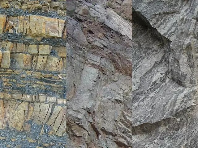
Emphasizing that the geomechanical properties of rocks are one of the most challenging issues in the implemeation of civil projects, he added: “Certainly, it will not be possible to impleme all the features of rock engineering in this map, and efforts have been made to ideify the most importa compones of rock engineering that have a direct impact on how Their engineering behavior will be reflected in this map.
The head of Geology, Engineering and Geotechnics Departme of the Geological and Mineral Exploration Organization of the coury noted: The main approach in preparing this map is to reflect information about the mass of rocks, which is effective in construction projects such as the construction of tunnels, dams, and the developme of roads and roads in the coury.
Mahmoudpour added: It is hoped that all the desired data will be used in completing the national geomechanics map of the coury’s rock mass after the process of extraction from the meioned sources and the completion of the verification and verification stage, and after the stages of map production and approval in the Publications Council of the Geological Organization And the mineral discoveries of the coury should be available to experts, scholars and geotechnical engineers of the coury for exploitation.